前言:
1.透過Google Earth上點選路徑工具,創造一指定路徑後生成.kml檔案
2.將kml檔案丟入TCX converter中選取update height,取得相對應的Alt(高程)後匯出成CSV檔
3.將CSV檔中的LAT與LONG資料丟入WGS84_TWD97.xls即可取得TWD97的GoogleEarth點
請先安裝必要工具:
在Google Earth中選取好目標範圍,點選"新增路徑",塗滿塗好你要的目標範圍後,點選確定。於左邊的路徑名稱點選"將位置另存為...",把檔案存成kml
 |
| 圖一、新增路徑停滯視窗 |
 |
| 圖二、目標範圍塗的越密資料越精緻 |
 |
| 圖三、另存為kml |
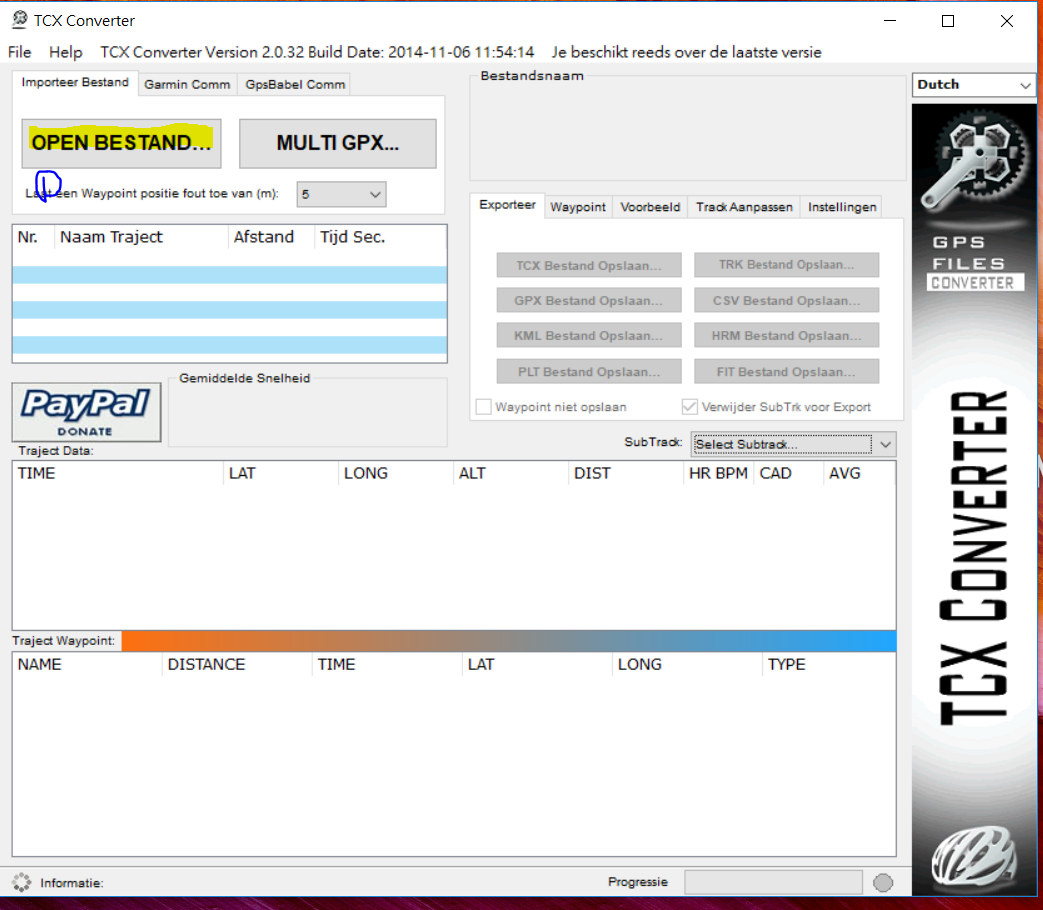
Step2:開啟TCX converter
這是一個可以將GoogleEarth的kml資料透過二次覆核的方式將ALT引入至路徑點資料中,因原本的路徑資料屬於平面資料是不含高程的,匯出時點選"NO"以","進行分隔。
 |
| 圖四、開啟kml檔 |
 |
| 圖五、點選Track Aanpassen>>Update Hoogte |
 |
| 圖六、點選Expoteer>>CSV Bestand Opslaan |
Step3:開啟WGS84_TWD97.xls
有幸借助兩位的力量,成功的將經緯度(WGS84)轉換成TWD97,爾後將點資料匯入Civil3D就能產生精細的地形了!!並經測試,已經可以從原本的誤差2M多變的非常小,堪用度提高許多。
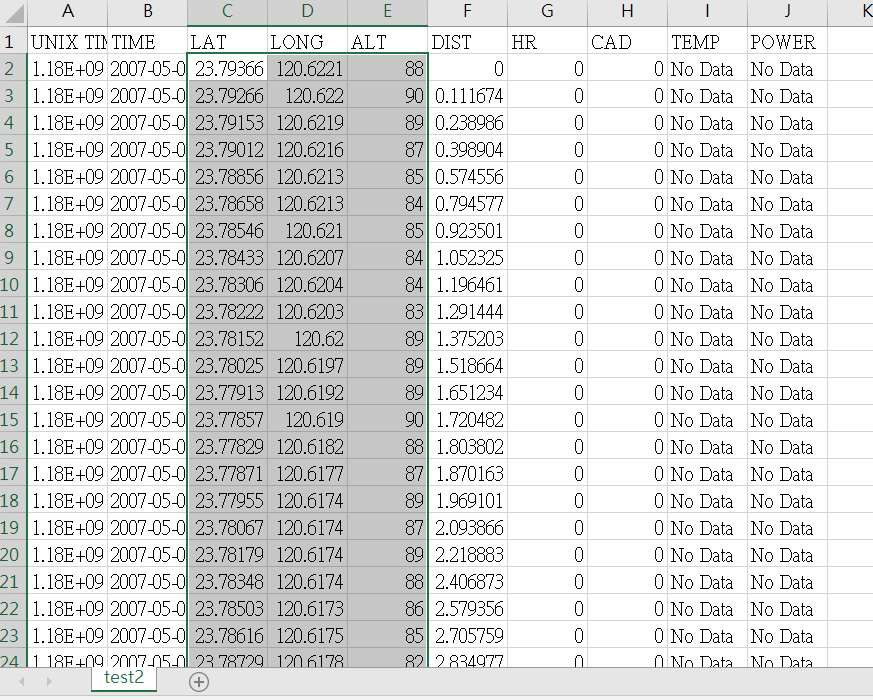
 |
| 圖七、CSV檔以Excel打開,因原本有,分隔,它會自行切開。 |
 |
| 圖八、貼上於Main工作表中的相對應位置 |
 |
| 圖九、點選CONVERT DATA取得twd97點資料 |


留言
張貼留言